Bass Harbor Campground- Bar Harbor, Maine
The resort town of Bar Harbor, Maine is home to the first National Park on the Eastern Seaboard. The first European settlement was established in 1761. Acadia National Park makes up the majority of the island. The history of the island is significantly linked to some pretty impressive names, such as the Rockefellers, Vanderbilts, Carnegies, Fords, Astors, Dodges, and even Martha Stewart (lol). The affluence of the area was unsurpassed and was a veritable playground for the rich and famous. The name Bar Harbor became synonymous with elite wealth. There was a catastrophic fire in 1947 destroying over half of the island. The fire, the Great Depression, and WWII marked the end of the extravagance in Bar Harbor. Now it is a major tourist destination with many outdoor activities-biking, hiking, fishing, bird watching and mountain climbing. The area also gets tourism from cruise ships arriving in their harbor. Much of the tourism is linked with the very popular Acadia National Park.


The history of Bass Harbor Head Light dates to 1855. It is located within Acadia National Park and covers 2.5 acres. Construction was completed in 1858. The light house was manned by a light keeper and his family until 1950. Today the home of the former light keepers is a private residence for a Coast Guard member and his family. Tourists can walk around the bell and the property, but most of the grounds are private.
Lisa and Karma enjoyed walking on the rocks that abound on the coastline. The weather was quite cool allowing Lisa to break out her new Patagonia.
As we were driving through town, a flock of turkeys crossed in front of us. We have seen a bunch of turkeys and deer lately- many of them on the roadways, We see an occasional eagle-mainly around cliffs by the water.. We are still waiting to see our first moose.
Karma is now well versed in the practice of photo ops. We would love to know what he thinks much of the time. He pretty much just rolls with whatever we tell him to do. He has been such a good boy this far into our adventure.
Otter Point was a great place to stop and enjoy the view.
It looks like Lisa is photoshopped (but she wasn't) into the pic at Thunder Hole.
An Overpass in Acadia National Park that we thought was interesting.
You enter Acadia National Park and follow a one way loop about 20 miles through the park. We are learning a lot about the establishment of the parks and how to get around some of the costs. We purchased a Lifetime Senior Pass last year that we can use at all the national parks. We can use it for park entrance fees and camping on federal property, like COE campgrounds. It has saved us a significant amount of money already.
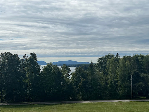
We stopped at this overlook en route to Bubble Rock. We are at a much higher elevation than it appears.
The views were simply stunning.
Jordon pond is a lake on the island. There is a restaurant inside the park at Jordan Pond. We had been told we HAD to eat there for the best clam chowder and lobster rolls in Maine. It was pretty good food but incredibly overpriced. This island is amazingly "mountainous". The highest peak on the the island is Cadillac Mountain. It is the first place in the US where you can see the sunrise. You have to schedule a time to enter and pay an extra fee to go up Cadillac Mountain. We opted to see the sunrise from a different spot minus the crowds.


Bubble Rock is arguably the best-known boulder in the entire state of Maine and one of the most visited spots in Acadia National Park. Perched precariously on the eastern edge of the summit of South Bubble, this giant geological feature is an excellent example of a glacial erratic, a huge rock that was moved here by the powerful action of ancient glaciers. Scientists estimate the rock originated some 40 miles to the north near Lucerne, its coarse-grained white granite differing markedly from the familiar pink granite of Mount Desert Island.
Lisa gave it her best effort to get the rock moving and rolling off the cliff, but she just wasn't strong enough. When we left, it was still sitting there. The massive size of the rock and the way it is precariously perched there astounded us.
You can see Bubble rock from the parking lot. In the second photo, there is an arrow pointing at Bubble rock. We had hiked up some serious elevation to get there.
Mark captured a panoramic view of the area.
We noticed these seams of gray quartz that was compressed within the granite. We are learning to notice and identify many things we had never noticed before.
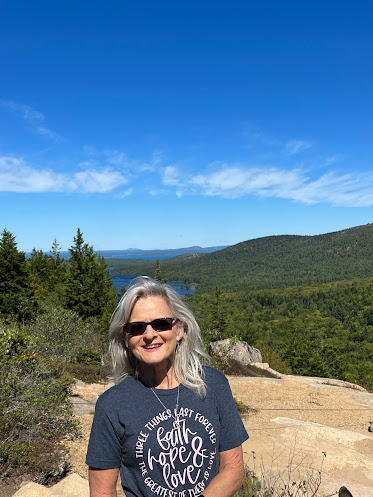
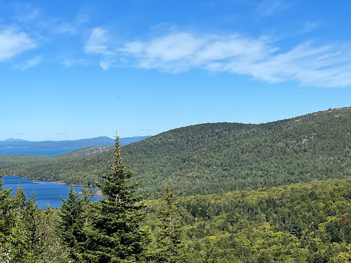
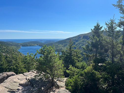
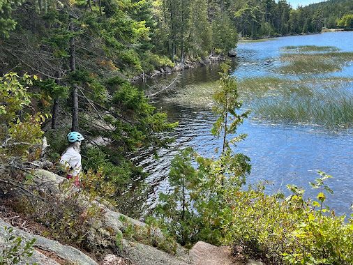
Pictures from the North Bubble offer a glimpse of the beauty we saw that day. The colors were vibrant and the day was so sunny. Temps were perfect for hiking. It was the perfect day. The hike to the summit was only about 40-45 min but we had our share of scrambles on the rocks and steep climbs. This hike was very different from other places we have hiked along the ocean. We were glad we had our walking poles that day.

We stopped at the restaurant at Jordan Pond after all we had heard about it. A LobStah! Roll- yes that is a hotdog bun with lobster in it and a side of potato chips- don't ask the cost. Yes, a sandwich on a hotdog bun with a handful of lays chips was $39. We had been told by several that this place had the very best lobster rolls in Maine. We kept hearing, "it was to die for". It was pretty good, but IT WAS ON A HOTDOG BUN!!! We decided after this expensive lunch that we could survive the rest of our time up here without any more lobster rolls. Lisa got an $18 bowl of chowder that was served with popovers. The chowder was ok, but the popovers were really good.
An authentic Maine lobster roll should be: “A hot dog roll, center cut, that is toasted—preferably buttered and then toasted—filled with nothing but fresh lobster meat; big chunks, not shredded, not frozen,”. The meat is tossed with mayo, giving it a blush hue and a creaminess. We did learn that they mainly use claw meat for the lobster rolls . The claw meat is supposed to be the best meat.
Lisa on our 40+ mile bike ride following the carriage roads through the park. We have officially hiked and biked all over Acadia. J.D. Rockefeller ensured these bridges would last the test of time. Notice they even had drainage holes installed through the walls.
The carriage path runs along the south end of Jordan pond. We have climbed up and down rocks all over Acadia all week. Thank goodness we have great hiking footwear.

These were some of the views we had on our bike ride through the carriage paths. The edge of this bridge shows it was built in 1919. They built these things to last.
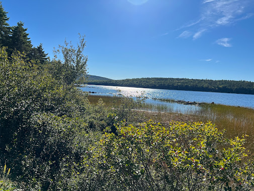
Eagle Lake is one of the lakes inside Acadia.
This was our view during lunch from the top of Day Mountain. The last 1.5 miles up the path to the summit had an 800' elevation climb. All I can say, is thank goodness for e bikes and throttle assist. When we reached the top, we sat in the sun on a rock and had lunch. I found a large snake skin near our rock, so apparently, the snakes like to sun themselves on these rocks as well. Another couple ended up joining us during our lunch. It has been really nice to meet so many interesting people on our adventure. It is amazing how many people have stopped to talk to us while we are out hiking and biking.
Eagle Lake provided us with more beautiful views.
We made a wrong turn and found Aunt Betty's pond. It was not on our planned route but was a very nice detour.
The Carriage Trail Gatehouse was built in the early 20th Century. We could not get access but the exterior was beautiful.
Lisa was just getting started on the St. Sauveur hike. It was pretty warm with great weather- perfect hiking weather.
This large tree got so big that it toppled over ripping the ground up with it.
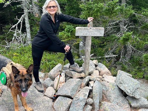
Karma is on the trail carrying his supplies. He loves his backpack because he knows it means we will be on a long hike. He has his leash on but it is tucked into his pack. The signs just say he must be on a leash, it does not say he cannot carry it himself. When no one is around, we let him go off leash. Scrambling over the rocks is much easier for him and us when he is off leash. These hikes have been pretty challenging at times with a lot of rocks and elevation changes.
View from St. Sauveur before we started on Valley Peak Mountain Trail.
Views of Somes sound from Valley Peak Trail on a very cloudy and overcast day. The day was a bit dreary but we were still blessed with the beauty the Lord created. There were very few people out hiking in this area today.
Lisa standing by a recent blowdown. The tree toppled over and pulled the dirt and rocks up with it.
This was a hike up St. Sauveur which took us up the Valley Peak Trail. We were treated with wonderful views of the Somes Sound. This was a difficult hike for Karma because there were several steep scrambles. Sometimes he needs a boost and lots of encouragement. He is a trooper though and accepted our help when needed.
Frenchman Bay from Schoodic Peninsula is part of Acadia National Park. This land was donated to the National Park Service in 1929. The main entrance to the park does not lead to this area. It seems like many people are unaware of this section of the park, there were very few people here. We enjoyed the serenity and the beauty of the area even more since there were not crowds of people here.
Cadillac Mountain this is the highest point on the Atlantic shore in North America. The sun rises early here and sets early here. It is said to be the first place in the US to witness the sunrise each morning.
The lighthouse on Mark islands is the Winter Harbor Light house. It was built in 1856 and stayed in service until1933. Now it is a privately owned residence.
This rocky shoreline is very interesting. From this point you can see Mt Desert Island in Frenchman's Bay on the northside and Thunderhole is on the southside.


Rockefeller was integral in the development of Acadia Park. Not only did he donate much of the land, he also designed much of it. His interest in the park was to meld with the scenery, not to impede the nature, but to improve it and to preserve it. In the early 1930s, Otter
Cliffs Radio Station on Mount Desert Island was literally
falling apart. John D. Rockefeller, Jr., then developing the
infrastructure of Acadia National Park, sought to locate the park's main
loop road through the Otter Cliffs area. The military radio station had to be relocated.
A beautiful residence hall similar to Mr. Rockefeller's residence at
Seal Harbor was designed for the new radio station. Artisans from all over the world contributed to the project. The station operated as a secure radio station base for approximately the next 70 years. In 2001, it was turned over to the National Park Service.


Schoodic harbor has a shoreline that is different from many we have seen. The area is very rocky without the sandy beaches we associate with the ocean. Swimming is unsafe and discouraged because of the rough waves and rocky coastline. This area is intentionally minimally developed and remains a low visitation area. There is a 6 mile one way loop road around the peninsula. The raw beauty of nature is mainly untouched and undisturbed by man here.


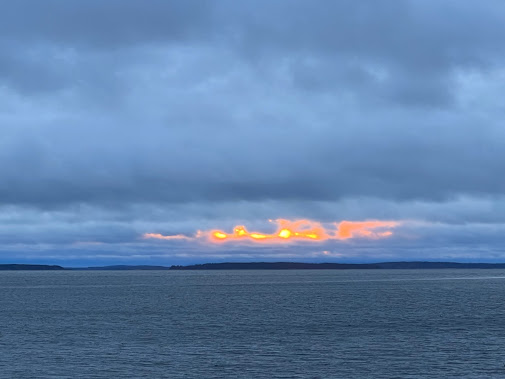
We got up at 4:30 in the morning to beat the crowds to Otter Point. We wanted to witness the magnificence of the sunrises the area is so famous for. We decided to go to Otter Point rather than the crowds at Cadillac Mountain. Unfortunately, it had rained the night before and was very cloudy and overcast. We were not blessed with beautiful colors as the sun rose above the mountains over the water. We had this area of the park to ourselves. It was still magical to be there so early in the morning with no one else around. There was a sense of calmness and peace just to be in nature and to enjoy being together. Granted, it was drizzling rain, windy and freezing. I ended up enjoying this time from the heated haven of our car.

This area is unsafe for swimming due to the rocky shores and the forceful waves that beat the rocks. The ocean appears to be angry at the rocks. A war has battled between the water and the rocks since the beginning of time. The water seems to have a personality that demands respect. She is like a jealous wife determined to have the last word.
Sunset at Bass Harbor Lighthouse gave us a glimpse of its beauty. The weather has not cooperated to give us the full glory of the splendor of God's creation.
We spotted this mama and her baby on our walk from Bass Harbor Lighthouse at sunset. Karma was very intrigued by them but they were not very impressed.
This was our last night in the area. Tomorrow we are off to continue our adventure and to explore a new area.

















No comments:
Post a Comment