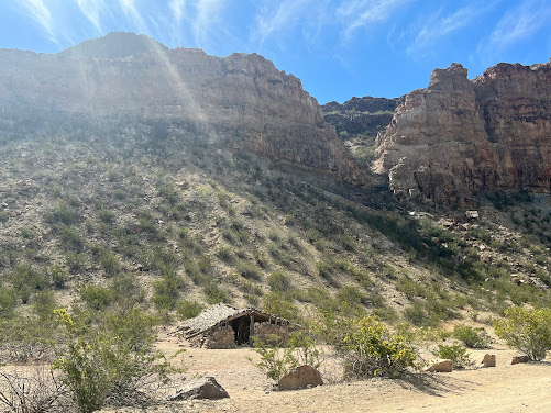
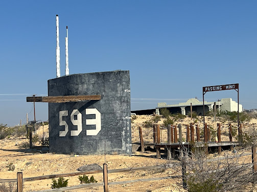
The Contrabando consists of an original adobe building called
'La Casita' and several later additions that became part of the Contrabando
during its use as a movie set. The movie set was constructed in 1985
for the Roy Clark film Uphill all the Way. The site has been
used as a set for nine movies including John Sayles' 1996 movie Lone
Star; as well as Dead Man’s Walk and Streets of
Laredo, which were part of the Lonesome Dove miniseries based
upon the novel by Larry McMurtry.
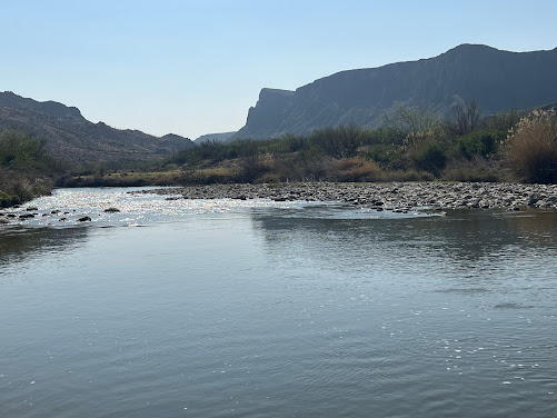
Looking across the Rio Grande as it separates the US and Mexico.
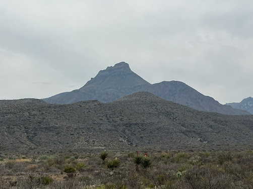
Views of the rough beauty north of Hwy 170 in Big Bend State Park seem to lure you towards the mountains. .
Lisa was at the base of one of the Hoodoo's in the state park.
Lisa and Karma in front of this Hoodoo to give a size perspective.
Lisa climbing to get a better look at another Hoodoo.
Karma was taking a break from his hike in the Hoodoo's. He was ready for water and a snack. Luckily, he carries what he needs in his backpack. Life in the hot, arid desert was not his first choice of favorite locations. He starts out very energetic and excited to explore, then he gets hot and tired after these long hikes. He prefers air conditioning and cooler weather instead of desert life. Even though he gets hot, he still prefers to be with us rather than home alone. When he sees us putting on our hiking boots, he knows that means GO and gets very excited.
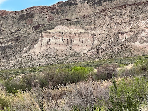
We saw this view of the gypsum on the mountains across from the Hoodoo's.
The Fort
Leaton State Historic Site is located in Presidio, Texas. The
original adobe structure was a private residence dating back to the early 19th
century. Through murders, financial difficulties and abandonment, the structure changed
hands numerous times.
Fort
Leaton is believed to have been built as an adobe residence in the 1830s by
Juan Bustillos. In 1848, it was acquired by Benjamin Leaton, who lived in the
structure and also used it as his trading post and fortress.
Benjamin
Leaton was a trader and freight hauler along the Chihuahua Trail. He also
traded munitions to the Apache and Comanche for any stolen
cattle they brought him. When Presidio County was established in
1850, Fort Leaton was its first seat of government. Leaton died in 1851, and his widow married
Edward Hall who continued operating the freight business from the fort. Hall
became financially indebted to Leaton's partner John Burgess. Hall defaulted on
his debt to Burgess in 1864, and was murdered. Burgess took over the fort, and
was in turn murdered by Leaton's son in 1875. The Burgess family remained in
the fort until they abandoned it in 1926. The fort was purchased by Marfa
State Bank and a private citizen in the 1930s and donated to Presidio County.
An attempt at restoration was begun, but adequate financing never materialized.
The site was then purchased by a private citizen and donated to the state
of Texas.

The exterior of Ft Leaton still stands proud.
The courtyard at Ft Leaton was a busy hub of trade and social activity.
This was a sleeping area within Ft Leaton.
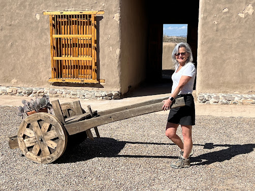
This was a work wagon used in the 1800's in South Texas, even though it does look like it might have been present during the Flintstone's era.
Lisa was carting around a cactus in an early model "wheelbarrow".
Geologic forces continue to shape and re-define the landscape of Big Bend. Today, weathering and erosion are the primary agents of change. Wind and water, often aided by suspended abrasive materials, minerals, or acids, have combined their efforts to produce the landscapes and features we enjoy today.
We noticed the cliffside was honeycombed with holes, but we were unable to determine the cause.
Scenery around the home Lisa was debating for us as our retirement home. History of the area tells us a family raised 10 kids in this structure. Can you imagine 12 stinky, dirty people living in this? Nope, I cannot even fathom such a thing.
This section is composed of a different type rock than the sandstone we have been seeing.
This was a picnic area where we had our lunch. It was a very good thing we came prepared, because the nearest restaurant and convenience type stores were over an hour away. The locals were telling us they travel about 3 hours each way once a month to get groceries and supplies. There is literally nothing but desert and rock for many, many miles. It was about 90 degrees outside in the sun but a very comfortable 70ish inside the teepee.
Texas blue bonnets were in full bloom during our visit.
Sandstone formations are constantly undergoing change from the wind and weather. Even within a short distance, we saw so many different formations and types of rock.
The "house" above is called a Jackal. It is about 10 foot wide and 20 foot long with the center being about 3' above the ground. Not sure how one could live in it and also raise a "large" family there. Luna did and lived there from 1916 until his death in 1947.
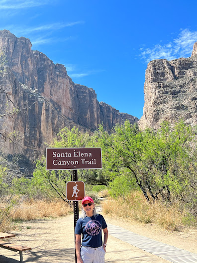
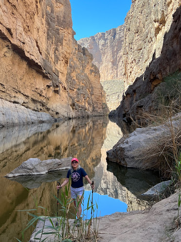
Santa Elena Canyon
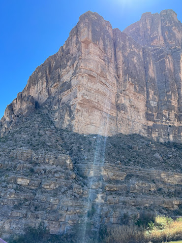
The majestic Santa Elena Canyon is the most impressive canyon in the Big Bend National Park. It is visible over 10 miles away. As the Rio Grande changes direction abruptly after following beneath the straight Sierra Ponce cliffs for several miles and heads due west, cutting through the mountains creating a deep, narrow gorge. This sharp bend in the river was formed by movement along the Terlingua fault zone that crosses the park. For many miles upstream, the river is trapped beneath the high walls, eventually emerging into a wider valley at the town of Lajitas.
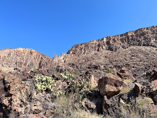
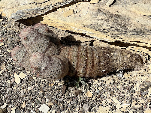
Cactus can grow in a small crack in the rock, even without any soil present.
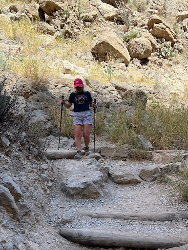
Lisa was hiking on the side of the canyon. She had to make this hike without her side kick Karma. Dogs were not allowed on the trails in the National Park, but were allowed in the State Park. It is really odd how the rules change randomly, often without obvious logic. Our poles definitely are handy on this type of terrain. Lisa calls her poles "snake flickers" in the event she stumbles across a rattlesnake. Her head is constantly on a swivel hiking in the desert on the lookout for rattlesnakes.
The spiny softshell turtle is a species of softshell turtle, one of the largest freshwater turtle species in North America.
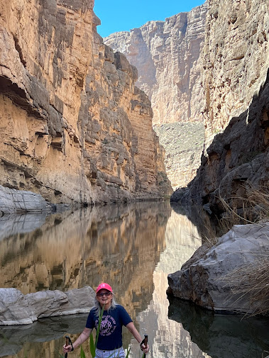
Lisa was at the end of the trail with the Rio Grande behind her. This was one of the most amazing hikes we have done so far. We will always recall this hike because of a little excitement we had post hike. We ended up in a ranger station, with her attached to an AED and a whole bunch of paramedics and rangers around her thanks to a fib and hypoglycemia. The ambulance came from 80 miles away. She was coming out of the spell by the time paramedics arrived. Between her and the dog, there is always some kind of excitement.
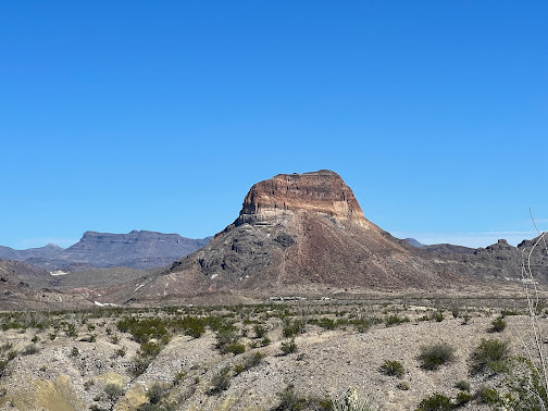
From this point, Santa Elena is 14 miles away. The variations in elevation distort your perception of distance.
This rock formation is called Mule Ears.
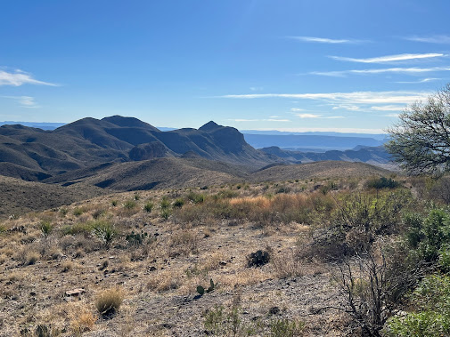
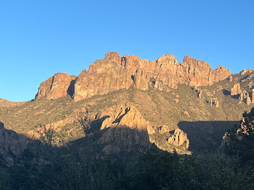
Panoramic views of the Chisnos mountains from Mules Ears view point.
This is the Chisnos Mountain chain.
Notice all the color and landscape variations within this canyon.
The pink colors in this cliffside are pink rose quartz.
Closed Canyon
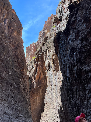
The Closed Canyon Trail is a short hike (1.4 miles) through a narrow slot canyon created by many years of erosion from the river. The trail leads you towards the Rio Grande River. You cannot access the Rio Grande from the trail without vertical climbing gear.
At this trailhead, there were posted signs alerting hikers to be alert for wildlife and carry water with you at all times. Look for signs of animal wildlife, such as scat (poop) and tracks. If you encounter a mountain lion, do not run, but back away slowly and try to look as big as possible. Pick up your small children if approached by wildlife. If you are attacked, please fight back. Do not enter the canyon if there is a chance for rain. The canyons and creeks can flashflood quickly and without notice, especially during the summer rainy season.
Lisa and Karma entering the slot canyon, still not sure what to expect.
Lisa and Karma were a little deeper into the canyon, still on alert but so far no surprises. Karma was not sure whether to follow mama or stay back with daddy.
This section required scrambling over the rocks.
The trail dead ended just past this scramble. To proceed past this point, vertical ascent equipment is required along with Park management permission. We decided to skip the vertical ascent today.
Lisa and Karma on the way out of the Canyon.
Lisa and Karma at the mouth of the canyon.































No comments:
Post a Comment